Research Initiatives & Outreach
- Kristin L. Huffman
Visualizing Venice to Visualizing Cities
Visualizing Venice is a multidisciplinary, multi-year, cross-cultural collaboration research project that supports mapping, 3D modeling, digital storytelling, and representing change over time in Venice. The public facing projects have demonstrated a new approach to traditional art historical material and have prompted researchers and students to think about Art, Architectural, and Urban History in innovative ways. Its published scholarship—in the form of exhibitions along with traditional forms, such as books and articles—has translated archival study and onsite research into digital visualizations and has shown how it is possible to interpret, represent, and teach Architectural and Urban History in a dynamic and scientific way. It has also served as an umbrella research agenda and teaching curriculum for the Wired! Lab. Most recently, Visualizing Venice has expanded to become Visualizing Cities. Our intention is to apply the methodologies developed to include a broader range of international sites, including Paris, Athens, Durham, and, most recently, Krakow.
The collaboration began parallel to the Wired! Lab in 2009 with three research institutions: Duke University (Department of Art, Art History & Visual Studies, Durham, NC); Università Iuav di Venezia, Italy (Dipartimento di Architettura Costruzione Conservazione); Università degli Studi di Padova, Italy (Dipartimento di Ingegneria Civile, Edile e Ambientale). Over the first several years, the scholars of these institutions established a rigorous methodology that mediates between traditional historical discourses and the many possibilities offered by visualization technologies. The history of places and architecture has engaged with the representation of change over time, and Visualizing Venice’s (now Visualizing Cities’) purpose was to collect, maintain, and convey scholarly, archival research through more innovative visualization strategies, such as 3D reconstructions, inter-operable databases, animations, and augmented and virtual realities. Visualizing Cities is an example of how to interpret, represent, teach, and promote knowledge and artistic and architectural heritage related to the history of cities or territories over space and time.
Research Outreach with Scholarly Symposia
Over time, we have become a leader in the field with our established methodologies. For this reason, we have been uniquely positioned to host scholarly conversations in the form of symposia in addition to our workshops that provide foundational training for scholars in the field. Each of these symposia occurred at a pivotal point in the lab and coincided with the fifth- and tenth-year anniversaries of the foundation of the lab.
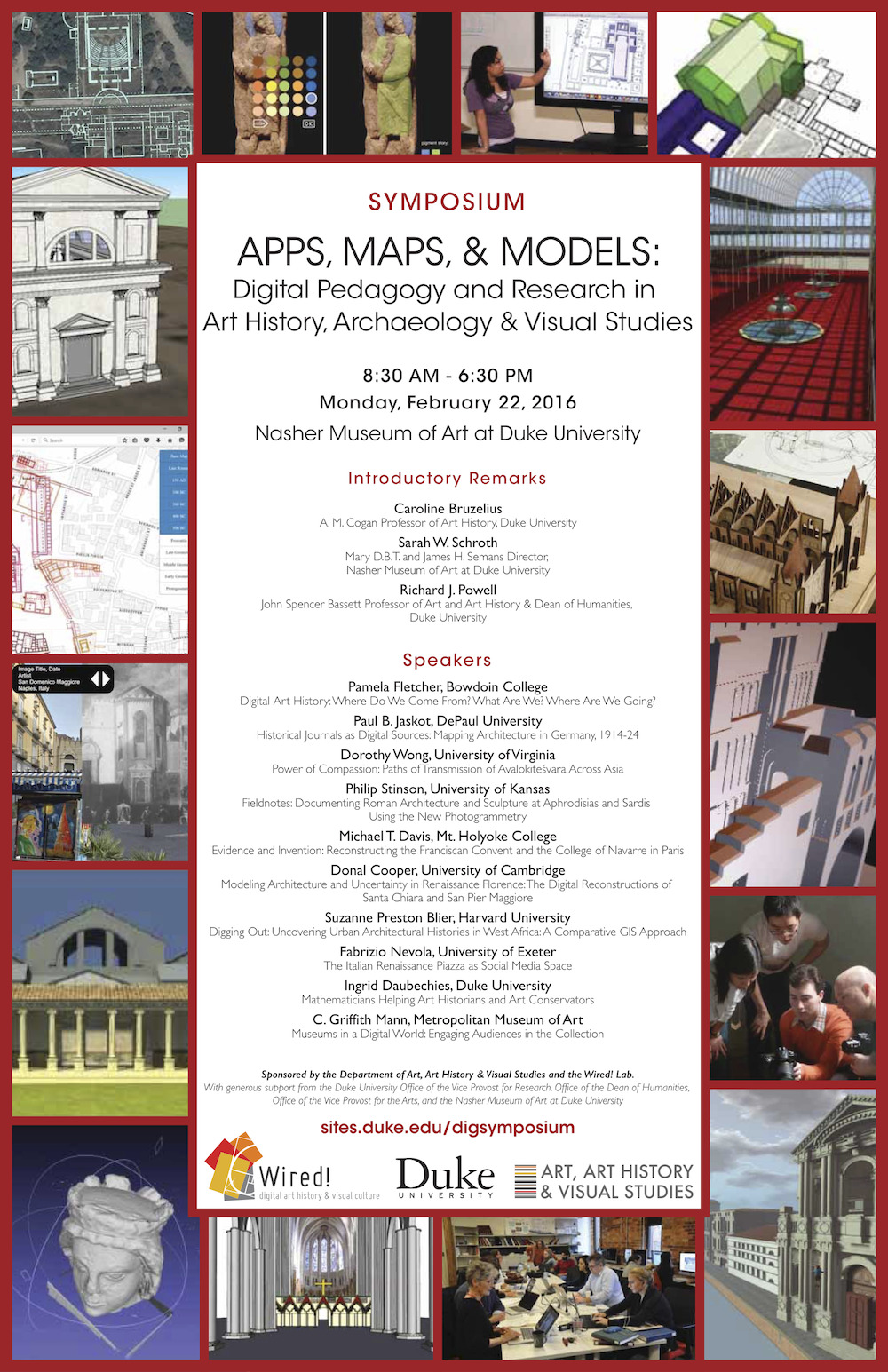
For each, leaders in the field of Digital Art History convened to share their scholarship, discuss challenges, and mark a point in the conversation about how our scholarship links more broadly to the Digital Humanities.
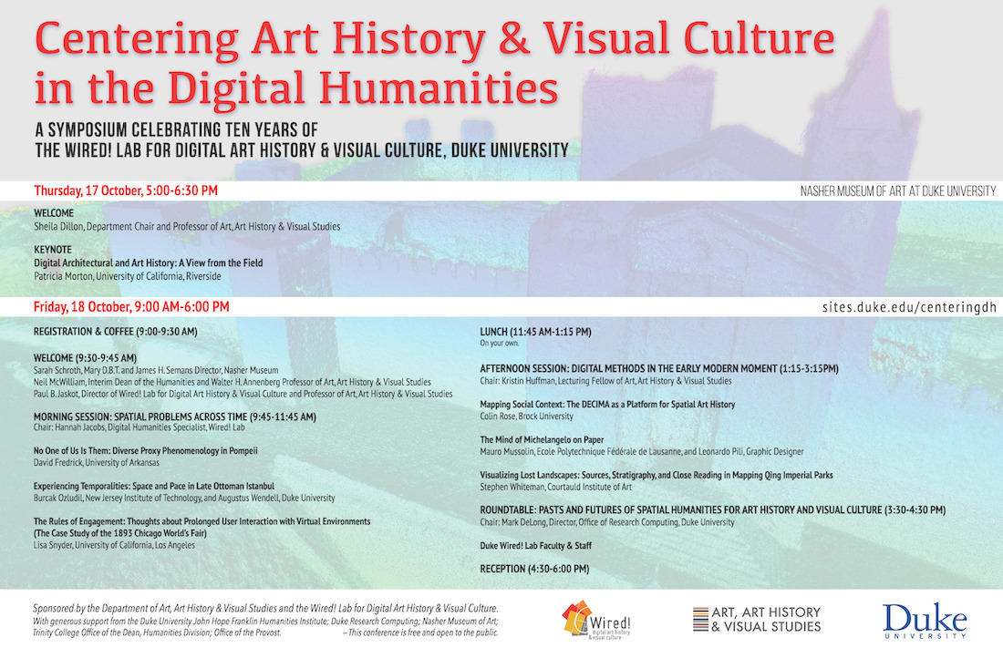
For information related to the speakers and their leadership in collaborative projects, please see the following links:
- Centering Art History and Visual Culture in the Digital Humanities (2019)
- Apps, Maps, and Models: Digital Pedagogy and Research in Art History, Archaeology, and Visual Studies (2016)
Banner Image: A point cloud model of a Portuguese fortress, part of the Book of Fortresses Image Credit: Edward Triplett